
We measured the garden on paper before asking AI to design it
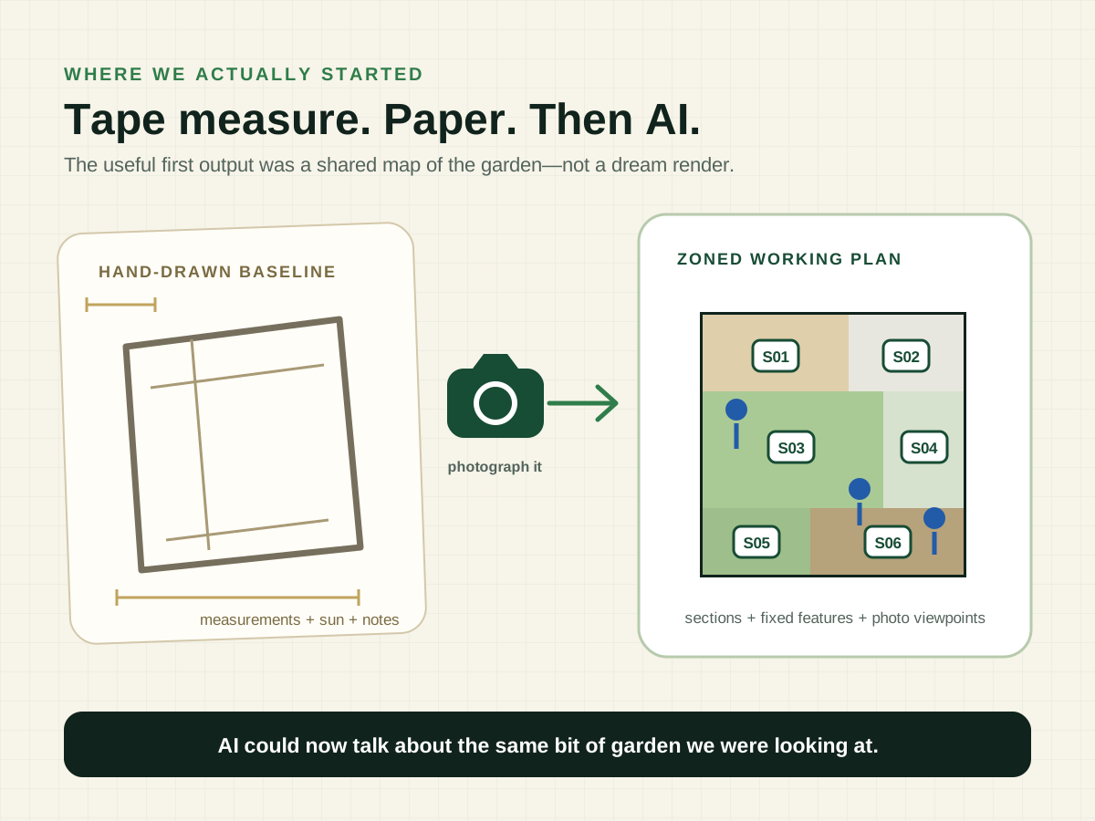
A tape measure and hand-drawn sketch became a zoned working plan that gave every part of the garden a name and every later photograph somewhere to belong.
This is where the story should begin
Before the glowing pavilions, heroic planting and suspiciously perfect porcelain, Helen and I went outside with a tape measure.
We measured the garden ourselves and drew it on paper. It was not glamorous. There were arrows, dimensions, a sun direction and the sort of handwriting that becomes less architecturally convincing the longer you stare at it.
But it was ours, and it described the actual place.
I photographed the sheet and asked AI to turn it into a proper plan. That first request was for something “architect grade”, which was optimistic, but the useful result was not the polish. It was the structure.
The garden finally had names
The plan divided the site into sections: the existing terrace, orangery, central area, side border, garage, rear border, left border and driveway. It marked the pear tree, drain covers and the major existing features. It also added numbered camera positions and directions.
That changed the conversation immediately.
Instead of saying “the bit over there beside the thing”, we could talk about S01, the house terrace, or V02, the view from the kitchen door. A new photograph could be tied back to a place on the plan. A mistake in an image could be compared with the same baseline.
The plan became a shared vocabulary for us and the AI.
Useful did not mean construction-ready
The finished drawing looked authoritative. It had a scale bar, dimensions, a legend, section labels and a drawing number. It also contained a rather hopeful proposed pavilion and planting, because AI rarely knows when to stop decorating.
More importantly, some dimensions and relationships still need checking. We did not record the measurement method with the discipline of a professional survey. We did not take proper spot levels. Boundaries, drains, thresholds, tree roots and building openings all need accountable verification before they drive irreversible work.
So we kept two truths in our heads at once:
- This was the most useful organisational document we had made.
- It was not evidence that somebody could safely set out the garden from it.
That distinction became one of the recurring themes of AI Garden Project.
The next obvious move
Once every part of the garden had a name, we could photograph it properly.
Not just whichever angle looked nicest. We needed representative views of every zone, views back towards the house, the diagonal relationships and close-ups of important fixed features.
The plan told us where to stand. The photographs would tell us where the plan was wrong.
Behind this outcome
Make an AI-ready map of your garden
Planned for the Space: our hand-measurement sheet, sketch checklist, zone-naming method and plan-verification guide.